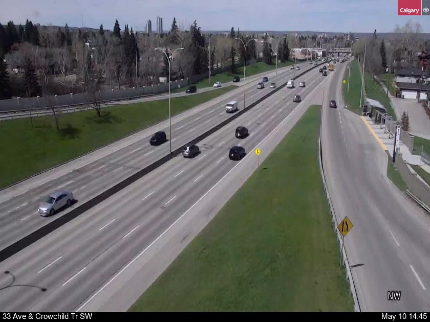
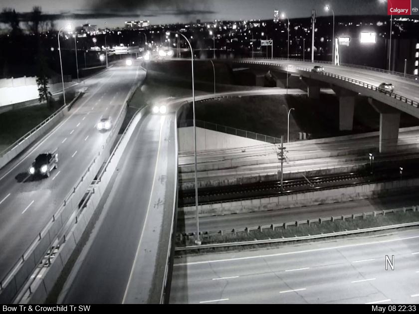
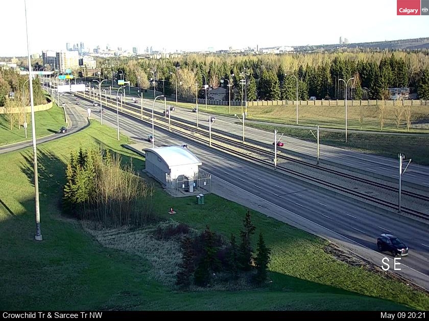
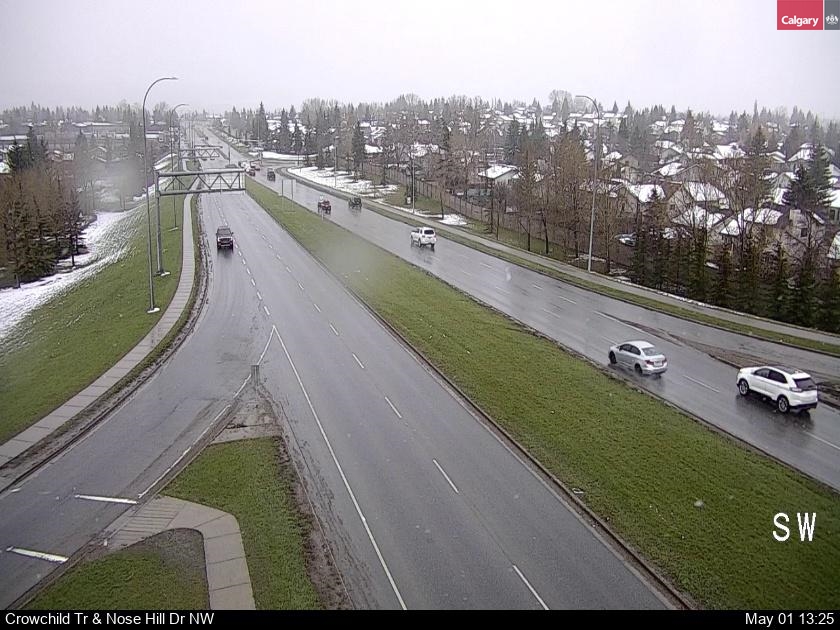
CALGARY TRAFFIC CAMERAS CROWCHILD TRAIL
The City of Calgary traffic monitoring camera images for the latest traffic conditions at major Calgary driving routes such as Glenmore Trail, Bow Trail, Deerfoot Trail, Glenmore Trail, Macleod Trail and Memorial Drive, Stoney Trail and other key intersections in SW., SE., NE and NW. Calgary.. REFRESH THE PAGE TO RENEW THE IMAGE "F5"
CALGARY TRAFFIC CAMERAS
CALGARY & ALBERTA ROAD CONDITIONS
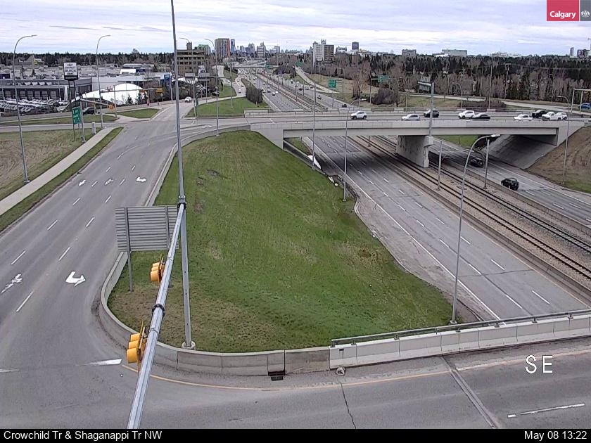
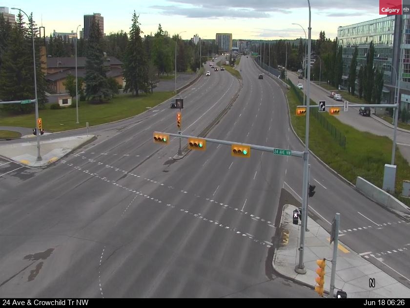
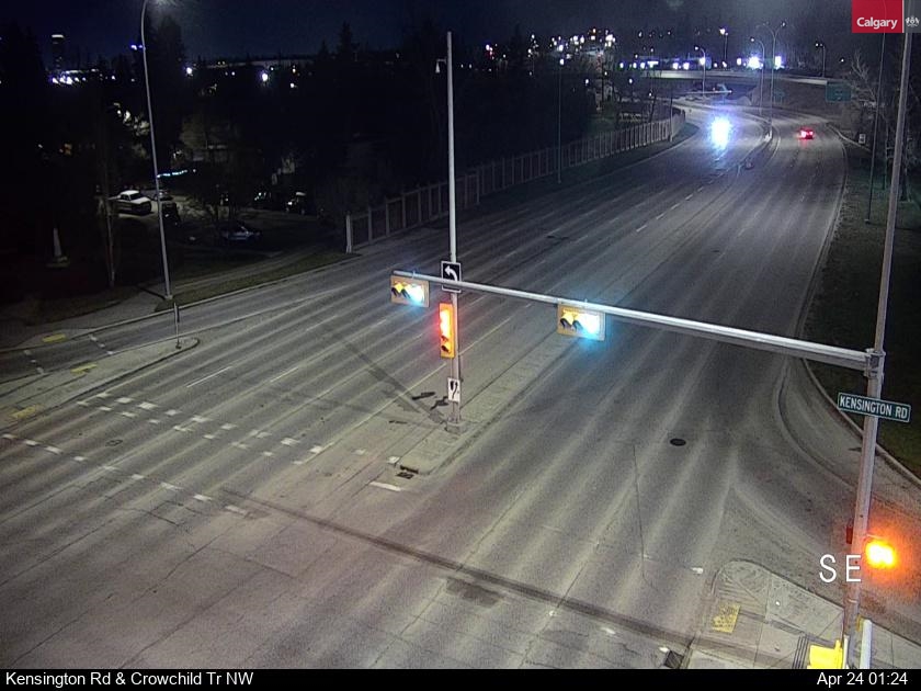
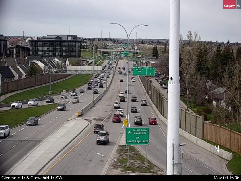
CROWCHILD TRAIL TRAFFIC CAMERAS
Crowchild Trail is a developing freeway in western Calgary, Alberta. The segment from 12 Mile Coulee Road to 16 Avenue NE (Trans-Canada Highway, Highway 1) is designated as Highway 1A by Alberta Transportation. Crowchild Trail became a true freeway from Glenmore Trail to Kensington Road NW, with overpasses at Flanders Avenue SW, 33 Avenue SW and 17 Avenue SW and interchange intersections with 10 Avenue SW, Bow Trail and Memorial Drive. The speed limit on the freeway sections are 80 km/h (50 mph).
CALGARY & AREA REAL ESTATE

Diane Richardson 403.397.3706
Diane@mypadCalgary.com
Cell:
403-397-3706
CIR Realty
703 64 Ave SE #130
Calgary
AB
T2H 2C3
CA

Featured Listing
Location: Rural Wheatland County
220048 RR 212
$564,900
MLS®#: A2224407
Bedrooms: 4
Bathrooms: 2.0
CIR Realty